Ask Our Experts800-606-6969
Hello, Log InAccount & Orders
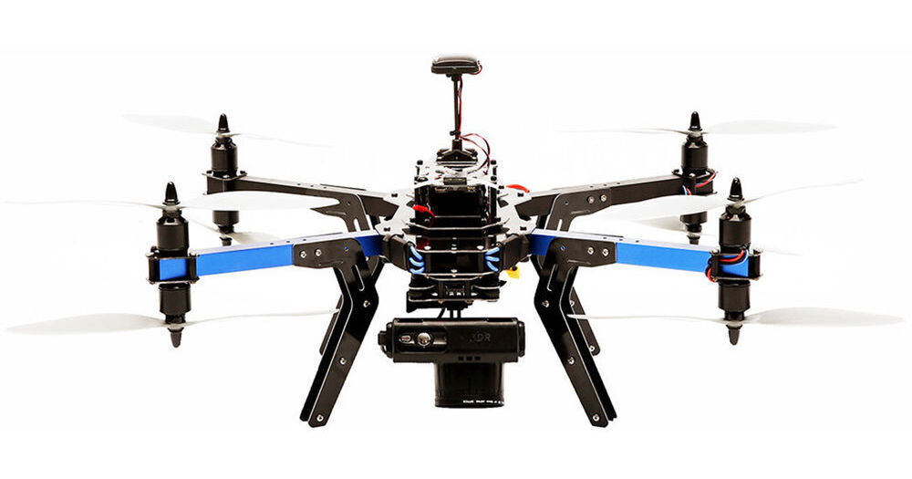
3DR X8-M Octocopter for Visual-Spectrum Aerial Maps (433 MHz: for Europe)
Key Features
- Pixhawk Autopilot System
- Includes Customized Canon S100 Camera
- Vertical Takeoff and Landing Capability
- Coverage of Up to 25 Acres
Create high resolution visual-spectrum aerial maps with the X8-M Octocopter from 3D Robotics. This semi-autonomous multi-rotor UAV features a Canon PowerShot S100 running customer software that is able to capture ground images with a resolution of 0.7" per pixel - much higher than comparable fixed-wing-based systems. With a flight time of up to 14 minutes, the X8-M is able to photograph an area of up to 25 acres per flight. The system comes ready-to-fly, meaning a Spektrum DX7s transmitter (radio controller), two flight batteries(LiPo charger available separately), and a custom-fitted case are all included. Because of its vertical takeoff and landing capability, the X8 can be deployed from sites with limited space.
More DetailsNo Longer Available
See any errors on this page?