Ask Our Experts800-606-6969
Hello, Log InAccount & Orders
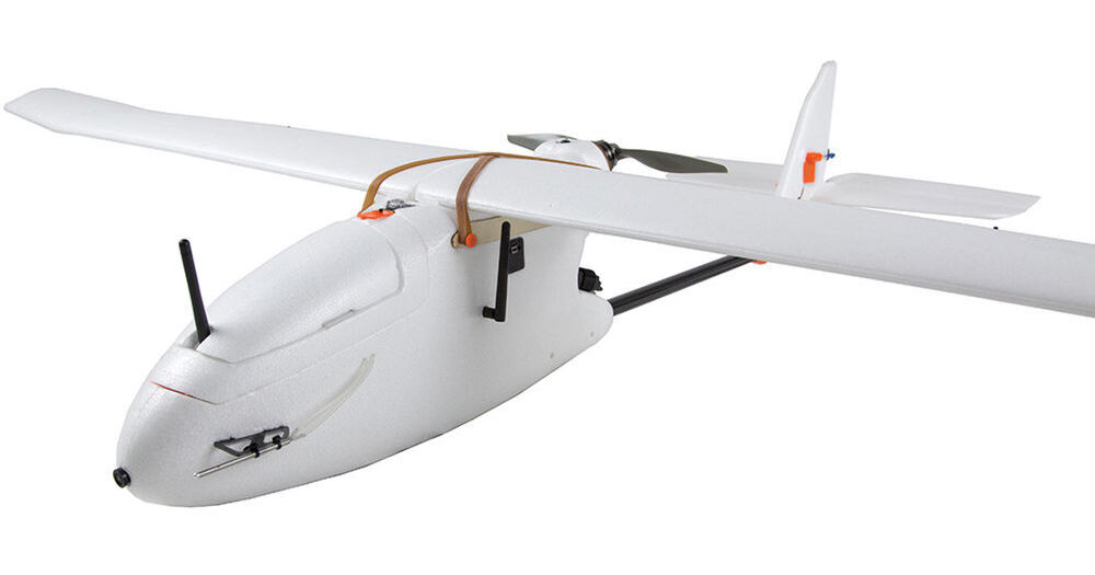
3DR Aero-M Drone for Visual-Spectrum Aerial Maps (915 MHz)
Key Features
- Pixhawk Autopilot System
- Includes Customized Canon S100 Camera
- 12MP per Image Photographic Capability
- Coverage of Up to 250 Acres
Create high resolution visual-spectrum aerial maps with the Aero-M Drone from 3D Robotics. This semi-autonomous airplane features a Canon PowerShot S100 running customer software that is able to capture ground images with a resolution of 2" per pixel. With a flight time of up to 40 minutes, the Aero-M is able to photograph an area of up to 250 acres per flight. The system comes ready-to-fly, meaning a Spektrum DX7s transmitter (radio controller), two flight batteries(LiPo charger available separately), and a custom-fitted case are all included.
More DetailsNo Longer Available
See any errors on this page?