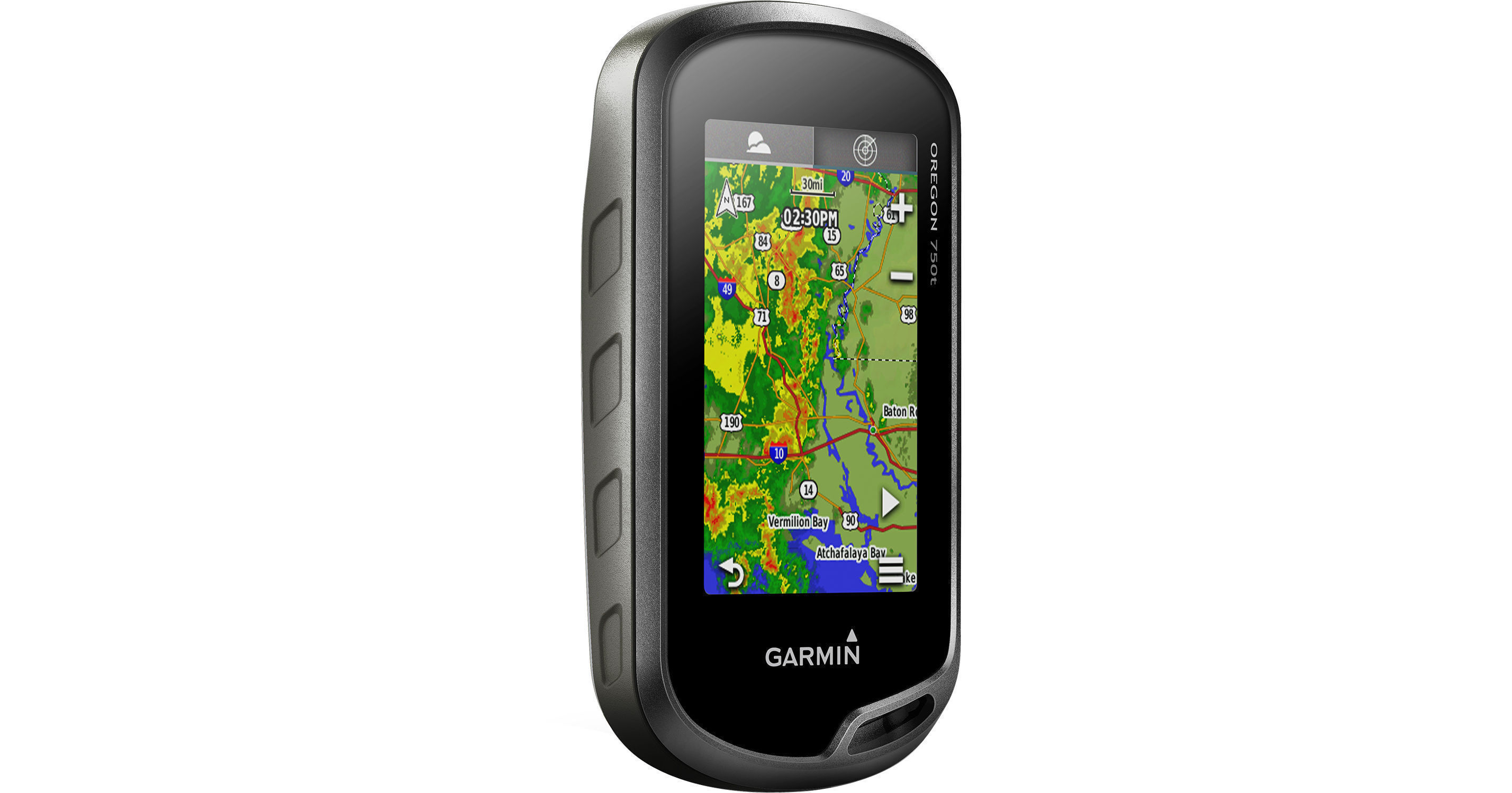
Know where you're going and where you've been with the Garmin Oregon 750t handheld navigation device. With both GPS and GLONASS positioning, a 3" sunlight-readable touchscreen and Wi-Fi, Bluetooth, and ANT+ connectivity, your outdoor adventures will be safer, more interesting and more fun.
The three-axis compass with accelerometer and barometric altimeter sensors provides an accurate read on your position, including ascents and descents, whether you're moving or stationary. Connectivity features include Active Weather support with animated radar overlays and a 1-year BirdsEye Satellite Imagery subscription. This unit comes preloaded with TOPO 100K U.S. maps, with terrain contours and searchable features of interest, as well as a worldwide basemap.
An 8 megapixel camera with autofocus and digital zoom geotags your images so you can return to the exact spot the photo was taken. Share your photo through Garmin's Adventure website, or wirelessly using Bluetooth connectivity.
The Oregon 750t also features built-in paperless geocaching software, so you can transfer your data to your computer with the supplied USB cord or upload it onto the Web. The internal memory allows you to store up to 4 million unique caches, so you don't have to pick and choose what to upload before your next trip. The unit's screen displays key information, including location, terrain, cache difficulty rating, and hints and descriptions of hiding spots. All of this means no more manually entering coordinates and paper printouts for your geocaching hobby.
You can wirelessly share your data and images using the built-in Bluetooth connectivity. Exchange photos, geocaches, adventures, routes and custom maps between Oregon 600-series devices. Store up to 10,000 waypoints as well as 250 saved tracks. A microSD card slot lets you load TOPO US 100K maps for hiking, Trailhead Series TOPO maps for famous trails, BlueChart g2 charts for boating, or City Navigator NT maps data for turn-by-turn routing on roads. You can customize your Oregon's display with free downloads of apps, widgets, and data fields from the Garmin Connect IQ™ online store.
Power is supplied by two AA batteries or the optional rechargeable NiMH pack. The unit has a water-resistance rating of IPX7, so rain, snow, splashing, or even a brief, shallow submersion will not cause damage.
- Utilizes GPS and GLONASS satellites
- 3-Axis Compass
- Barometric altimeter and accelerometer
- Preloaded with TOPO 100K U.S. maps and worldwide basemap
- Compatible with custom maps
- Paperless Geocaching Software
- Add your own custom points of interest
- 10,000 waypoint memory
- All waypoint data is editable on 1 screen
- microSD card slot lets you add maps
- Hunt/fish calendar
- Sun and moon information
- Area calculation
- Compatible with Garmin Basecamp software
- Advanced elevation plot
- Tide tables
- Picture viewer
- Flashlight
- Activity tracking calendar
- Bluetooth to wirelessly transfer data between units
- ANT+ wireless compatible for use with heart rate, cadence, chirp, and tempe sensors
- 3" sunlight-readable touchscreen display
- Reflective display technology uses external light in combination with the device's LED backlight to increase brightness
- Choose between portrait and landscape viewing modes