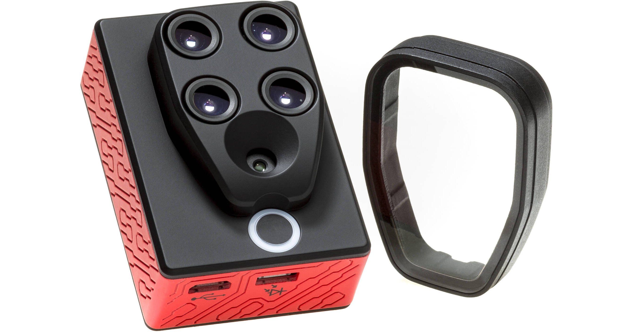
Record accurate crop analysis with your favorite drone and the Parrot Sequoia+ Multispectral Sensor. The sensor is compatible with nearly any drone, whether it be multi-rotor or fixed wing. Its self-contained technology features a multispectral sensor, a sunshine sensor, and GPS. The combination can record crop data, altitude, flight speed, and position, without needing to interface with the drone platform.
When oriented towards your crops, the multispectral sensor is designed to capture the light that's reflected in four different bands: green, red, and two infrared bands that are invisible to the naked eye. When oriented towards the sun, the sunshine sensor can record the light intensity in the same four bands.
When coupled with (optional) Pix4D software and its radiometric processing pipeline, you can get consistent data evaluation without the need for a radiometric calibration target. The Sequoia+ is also compatible with software from AIRINOV Technology, MicaSense ATLAS, and SenseFly.