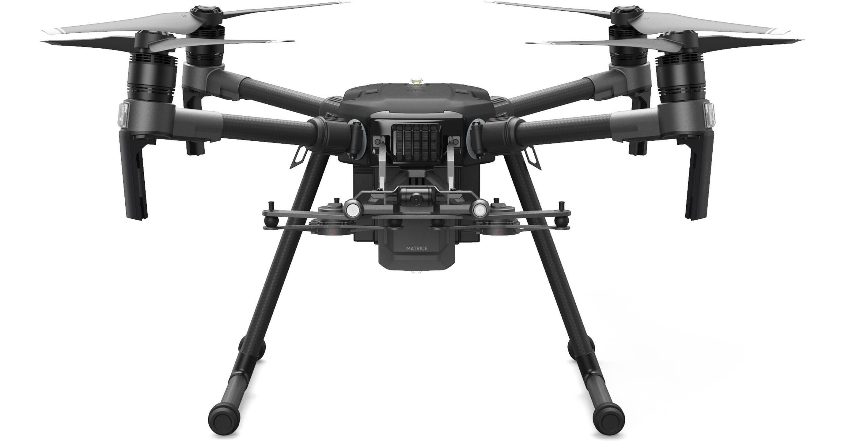

Built for industrial use, the Matrice 210 V2 Professional Quadcopter from DJI is meant to go into hazardous conditions to relay vital information to personnel on the ground. With up to 34 minutes of flight time and a range of up to 5 miles, it can be implemented in a variety of industries and professions. Inspecting infrastructure and getting a clear view of emergencies are just a couple of the jobs the Matrice 210 V2 can perform.
You can experience harsh environmental challenges in professional settings, which is why the Matrice 210 was given a rugged build, IP43-rated water and dust protection, and a battery heating system to extend flight time in extreme temperatures. The Matrice 210 drone platform is meant to be customized to your specific needs. It can power onboard devices and is compatible with a host of Zenmuse gimbal cameras (not included), which can provide everything from high-resolution photos and videos to thermal imaging. The Matrice 210 V2 can accommodate multiple gimbal configurations—you can place two downward gimbals or a single upward gimbal camera.
DJI has also made safety a top priority when piloting the Matrice 210, giving the drone multiple technologies to not only protect those around it but also the data it sends back to the pilot. AES-256 encryption of your wireless signal adds robust data security while obstacle avoidance, anti-collision beacons, and DJI AirSense help provide physical protection through spatial awareness.
- AES-256 encryption: Encrypting the streaming data from Matrice to pilot helps secure sensitive information from prying eyes.
- Obstacle avoidance: The FlightAutonomy system uses front, bottom, and upper sensors to detect and avoid obstacles, and provide precise hovering ability.
- Anti-collision beacon: Top and bottom beacons make the drone visible at night or in low-light conditions.
- DJI AirSense: A built-in ADS-B receiver keeps tabs on the surrounding airspace and automatically provides the pilot with real-time data on nearby airplanes or helicopters.
- Payload SDK: Develop imaging or robotic tools for optimizing your workflow.
- Onboard SDK: Developers can integrate an onboard computer to analyze flight data, connect third-party devices and more.
- Mobile SDK: This helps programmers develop mobile apps to help optimize flight planning and data collection to your needs.
- Public safety: Get an aerial overview of volatile situations and gain the ability to scout ahead for potential danger.
- Energy: Use optional thermal imaging to detect defects and inspect hard-to-reach equipment.
- Infrastructure: Inspect aging assets for possible repair.
- Construction: Inspect jobsites and structures quickly and in great detail.