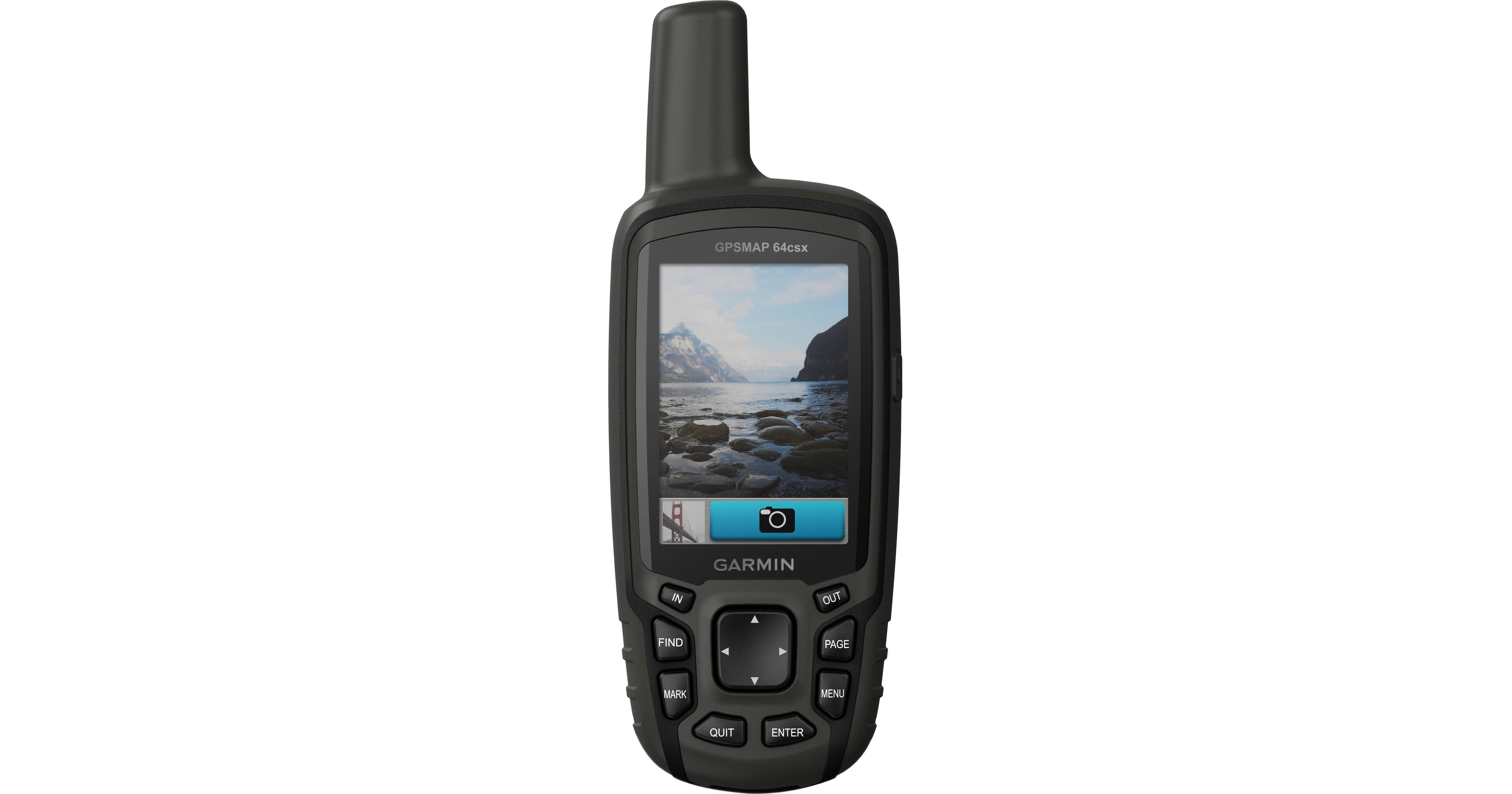
Featuring pre-loaded topographic maps of the US and Australia, satellite imagery (with subscription), and navigation from three satellite services, the Garmin 64csx GPSMAP Navigator will be a trusted companion when you're hiking, cycling, geocaching, or climbing. This model of the GPSMAP includes a compass and altimeter to aid your navigation, and an 8MP camera to chronicle your adventures.
The unit's 2.6" screen lets you easily navigate through its many features as well as its pre-loaded topographic maps and satellite photos. Positioning from GPS, GLONASS, and Galileo satellite navigation services assures you'll know where you are and where you're headed, even in challenging environments. Preloaded TopoActive maps feature routable streets and trails, showing waterways, natural features, and points of interest. You can download additional maps to the device's 8GB internal memory or a microSD card. With a subscription to BirdsEye Satellite Imagery, you'll have up-to-date aerial images to complement the maps. The unit is powered by an included rechargeable NiMH battery pack, and can run on two AA batteries if necessary. It measures 6.3 x 2.4 x 1.4" and weighs 8.1 ounces.
- High-sensitivity receiver with quad helix antenna and multi-GNSS support (GPS, GLONASS and Galileo)
- Three-axis compass and barometric altimeter
- Routable streets and trails and in the US and Australia
- Waterways and natural features, buildings, international boundaries, and more
- Thousands of points of interest including shops, restaurants, universities, parks, and accommodations
- 8 GB of memory and a microSD card slot for expandable map storage
- With subscription to BirdsEye Satellite Imagery, load satellite images and integrate them with maps
- Wirelessly receive emails, texts, and alerts from your paired compatible device (no need to dig out your phone)
- 8MP autofocus camera
- Each photo is automatically geotagged so you can return to the location or share it with friends
- Upload GPX files straight to your device, and view key information such as location, terrain, and hints from Geocaching.com