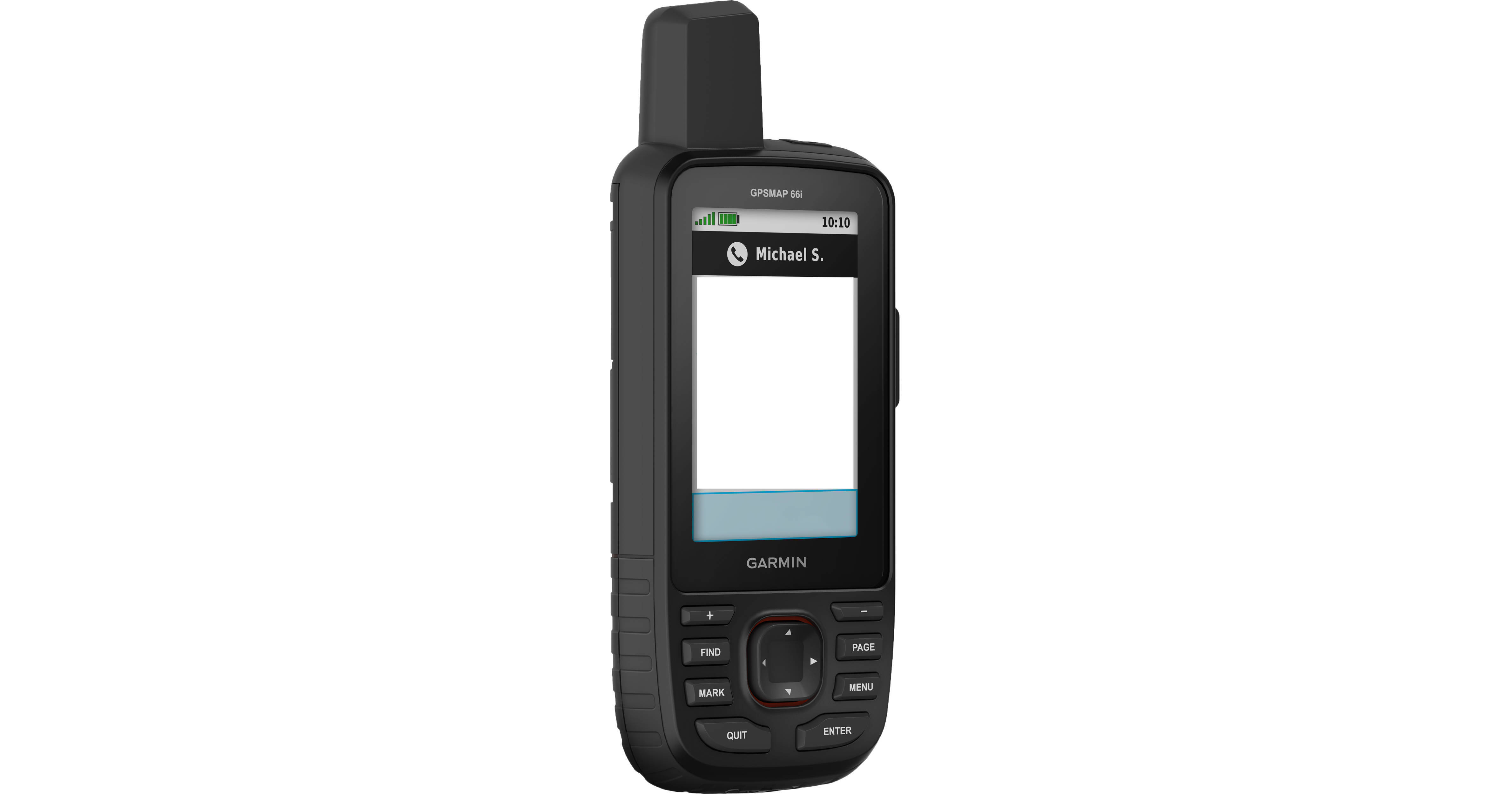
Garmin GPSMAP 66i Handheld Navigator and Satellite Communicator

BH #GAGPSMAP66I • MFR #010-02088-01
Print
Garmin GPSMAP 66i Handheld Navigator and Satellite Communicator
Key Features
  • Interactive SOS to Search & Rescue
  • Satellite Texting (with Subscription)
  • Global Navigation Satellite Systems
  • TOPO Maps & Satellite Imagery
Combine Garmin's famous navigation technology with anywhere-in-the-world communication and you get the GPSMAP 66i Handheld Navigator and Satellite Communicator. With a paid subscription, you can send and receive texts from anywhere, no cell service needed, via the Iridium global satellite service. If there's a problem, you can send an SOS to the 24/7 GEOS emergency response service, which will dispatch local first responders to your aid and provide interactive support while they're en route.
More Details
No Longer Available
No Store Display
Ask an Expert
800-606-6969

Garmin 66i Overview

From Manufacturer

Combine Garmin's famous navigation technology with anywhere-in-the-world communication and you get the GPSMAP 66i Handheld Navigator and Satellite Communicator. With a paid subscription, you can send and receive texts from anywhere, no cell service needed, via the Iridium global satellite service. If there's a problem, you can send an SOS to the 24/7 GEOS emergency response service, which will dispatch local first responders to your aid and provide interactive support while they're en route.

You'll find your way on preloaded Garmin TOPO maps, augmented by BirdsEye Satellite Imagery that downloads straight to the 66i with no subscription necessary. Challenging routes or environments get a lot easier thanks to the device's support for multiple Global Navigation Satellite Services along with altimeter, barometer, and compass navigation sensors. Pair with your smartphone or device to take advantage of all the route-planning and -sharing capabilities of the Garmin Explore mobile app. And if you have a cell signal, the 66i will use it to pull in Active Weather forecasts, including predictive maps.

Stay in Touch, Even in the Back Country
No need for a cell signal—the GPSMAP 66i uses the global Iridium satellite service, so you can send and receive messages anywhere.
SOS Capability
You can reach the GEOS 24/7 search and rescue monitoring center if trouble arises. The service, which has supported rescues in more than 140 countries, alerts local authorities and first responders to come to your aid.
GNSS Navigation
Multiple satellite navigation services make sure you stay on course, even in challenging terrain where GPS alone may not be enough.
Weather on the Go
A cellular connection lets you access Active Weather for up-to-date forecasts, including predictive maps for temperature, wind, precipitation, and clouds when connected to Garmin Connect Mobile.
Pair with Your Phone for Garmin Explore
The free Garmin Explore mobile app lets you plan, review, and sync data, including waypoints, routes, activities, and collections. Sync your GPSMAP 66i for more maps, aerial imagery, and US NOAA charts.

Garmin 66i Specs

Key Specs
Display Size
3"
Camera
No
Application
Boating/Naval, Forestry, Geocaching, Hiking, Trekking, Hunting, Land Survey, Orienteering
Waypoints
500
Battery Type
Internal (Rechargeable)
Runtime
Internal (Rechargeable): 200 h
Display Size
3"
Display Type
Color LCD
Internal Memory
16 GB
Media/Memory Card Slot
Single Slot: microSD (Unspecified Type)
Camera
No
Dimensions
6.4 x 2.6 x 1.4" / 16.3 x 6.6 x 3.6 cm
Packaging Info
Package Weight
1.065 lb
Box Dimensions (LxWxH)
7.1 x 5.6 x 2.2"

Garmin 66i Reviews

See any errors on this page?
Whatever You Need, We've Got It