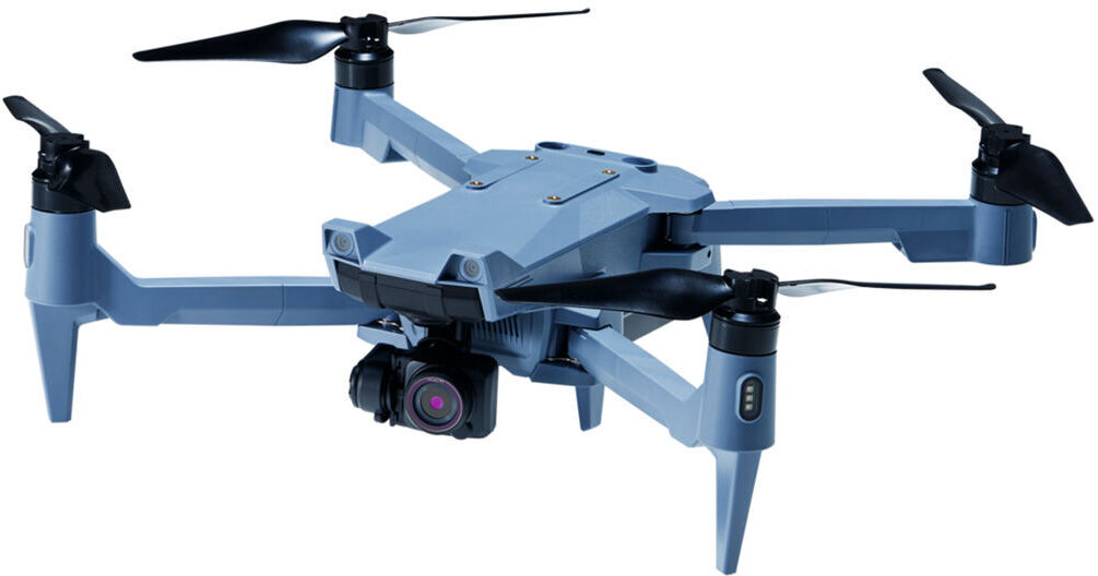
The ACSL SOTEN Survey Bundle is an ideal solution for surveyors due to the integration of a more advanced positioning and communication system. SLAS/SBAS enhance standard GNSS to sub-meter positioning for the incredible accuracy required when mapping locations. In addition, the SOTEN is equipped with LTE communication support, allowing operators to control the drone via the internet. This helps in unforgiving locations to provide autonomous level 3 BVLOS (Beyond Visual Line of Sight) flights. When LTE communications are not available, offline maps can be used to plot and manage autonomous flights. When in the air, capture highly detailed images and video thanks to the 3-axis CX-GB100 gimbal and 20MP camera capable of recording up to 4K videos.
- One-touch swappable camera
- Controller included with a built-in display
- Up to 25 minutes of flight time
- Significant wind resistance of up to 33.5 mph
- IP43-rated water and dust resistance
- MAVLink support
- ISO15408 data protection
- Foldable design
- Camera can be top-mounted with an optional adapter