
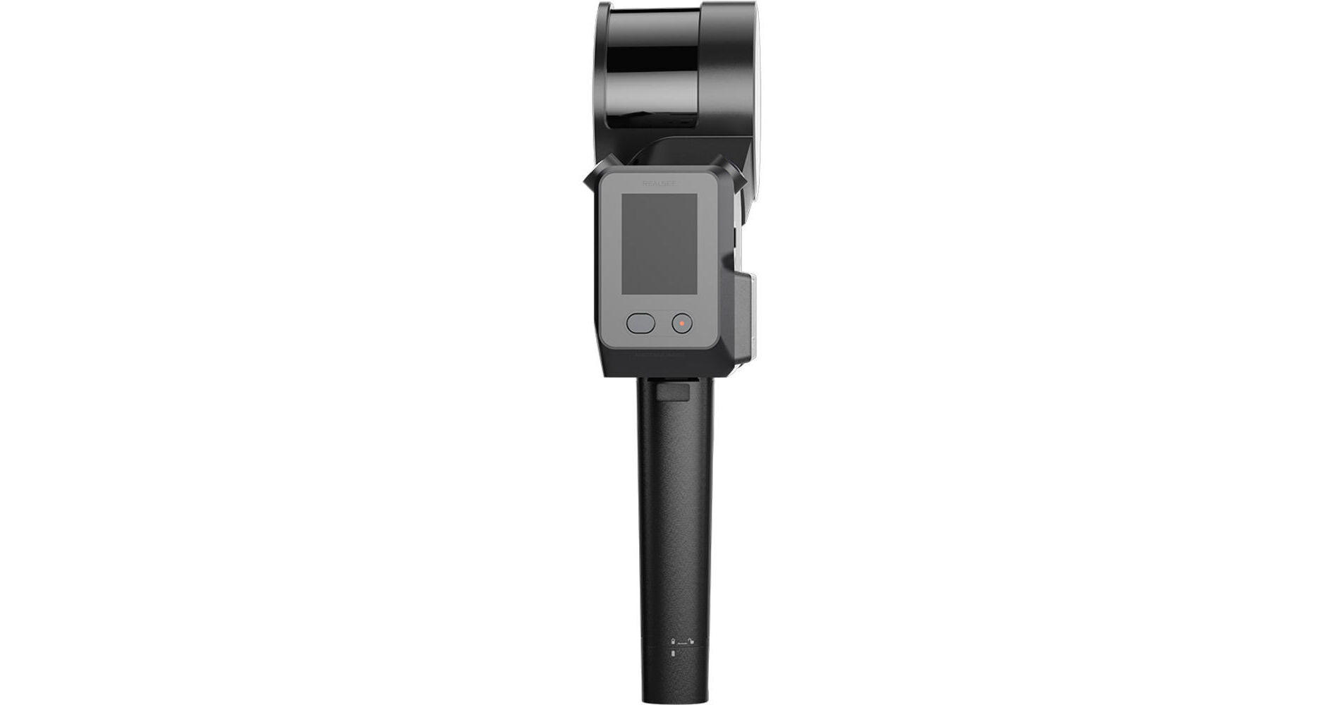
Map interior and exterior spaces in 3D with the Poincare SLAM 3D LiDAR Scanner Camera Kit from Realsee Technology and its advanced processing and capture technology. The Poincare scanner camera is a SLAM-based 3D LiDAR camera that processes data in real-time for live point cloud visualization and trajectory tracking with a connected mobile device. Six internal cameras perform different functions for precise image capture, and a 16-line LiDAR array can scan from distances up to 393.7' away.
Live Feedback
Internal SLAM technology and data processing allow the Poincare to perform real-time SLAM computation. This optimizes device positioning while simultaneously creating accurate 3D maps. Monitor scan progress on your mobile device using the companion Realsee VR app.
Multi-Sensor Synergy
The 6-camera array equips the Poincare with specialized tools to create accurate 3D captures with rich color and detailed point clouds needed for AEC workflows, surveying, and other visualization. Four dedicated color cameras with a 163° field of view and 12MP sensor capture true-to-life color imagery. A detail camera with an 85° field of view and a 12MP sensor excels in close-range capture. A SLAM camera with a 200° field of view and a 50 Hz frame rate works to position your camera within the space and track its progress.
Internal LiDAR Array
The LiDAR array within the Poincare equips you with 16 laser channels to create a 393.7' scanning radius, which delivers high-density point clouds across wide distances. This creates a complete 360° horizontal and 270° vertical field of view for minimal blind spots in data collection. High-speed capture accelerates scanning workflows. The lasers are IEC 60825-1 certified for eye-safe operation without the need for protective equipment.
High-Fidelity Color
The Poincare scanner delivers <0.8" relative accuracy. This provides high-resolution color point clouds for applications requiring exact data. Multi-angle HD imagery with LiDAR data combines for color consistency.
Single-Layer Point Cloud
Using its SLAM and multi-algorithm protocols, Poincare generates an ultrathin 0.04" single-layer point cloud with consistency and clarity to reduce data redundancy and enhance precision.
Intelligent Noise Filtering
AI-powered noise filtering removes dynamic objects and irrelevant elements even in complex or high-traffic environments. Image recognition and global motion filters ensure the LiDAR scanner delivers clean data despite crowded settings.
App Control
The Realsee VR app instantly monitors your scan coverage and quality, adjusts collection strategy in real-time, and optimizes workflows. It allows you to scan a 1,100 ft² space in just four minutes. You can adjust additional parameters like point cloud display, color intensity, and render quality mid-scan for uninterrupted progress.
Cloud-Automated Processing
Data auto-syncs after you capture, while AI simultaneously processes multiple projects. Edit in real time during ongoing scans for seamless collaboration and reduced deliverable times.