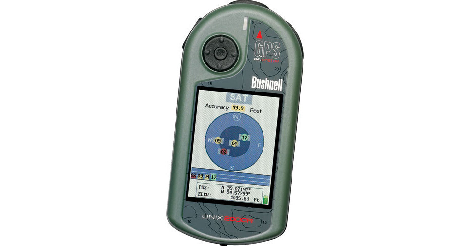
GPS satellites have been freely accessible to the world through the "public good" policy of the United States Air Force and their NAVSTAR Global Position System (GPS.) It is a system of satellites that broadcast a specific radio signal to connect to a receiver like this one. If three or more of the 29 NAVSTAR satellites are in transmission range of the GPS unit, through simple mathematical calculations based on the distances between each orbiting satellite and the receiver, a 3-dimensional position on the X/Y/Z axes is determined. This in turn translates into latitude, longitude and altitude co-ordinates on a GPS receiver. These positions are then represented graphically with points and lines on a GPS unit's screen.
The Bushnell ONIX200CR takes this technology one step further. Whereas all other dedicated GPS units rely on vector based graphics to display maps, trails and waypoints, the ONIX200CR is the first with the ability to rasterize a georeferenced satellite or aerial image on its screen. This results in a "real life" view of the area being navigated and is able to be layered over a vector-based map; switchable from one view to another with a push of a button. The ability to reference a true image of a route and its associated visual landmarks greatly simplifies and enhances navigation by GPS.
For multi-day treks or where full-time GPS tracking may be required, the ONIX200CR has a battery-saving mode called SafeTrack, that dims the LCD display without turning the radio receiver off. This way power drain is minimized and the length of operation is extended. Standard AA Alkaline, Lithium, or NiMH rechargeable batteries are compatible with the ONIX200CR and are replaceable in the field at any time.
The ONIX200CR is identical to the ONIX200 with the exception of a higher resolution, bright, vivid, full-color screen that provides a more discernible display for data and images.