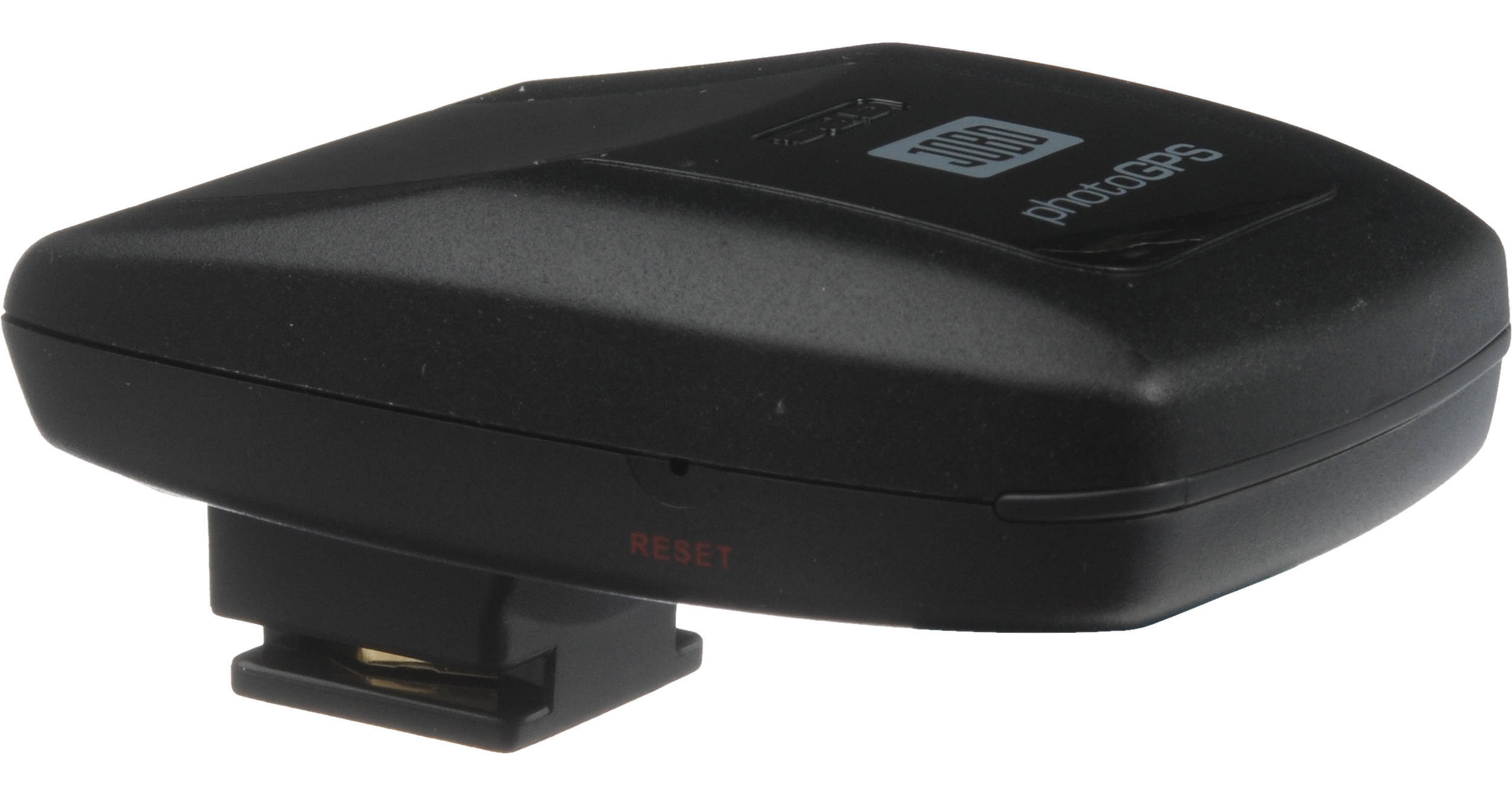
The Jobo photoGPS2 Hot Shoe-Activated GPS Data Logger mounts to your camera's hot shoe and stores GPS data every time you release the shutter of your DSLR. Wherever you are when your camera takes a picture, the photoGPS2 stores a record of the current geo-data, giving you the opportunity to have longitude, latitude, and altitude associated with each picture. A Geohint button on the photoGPS2 unit records the location whether or not a photo is taken. This allows you to record a location before entering a building, where a GPS signal might be unavailable.
Connect the device to your Mac (models with Intel processors) or Windows (XP SP2 or Vista SP1) computer via USB 2.0 and load your photos, and you can use the included Matching software to embed GPS info with the pictures' EXIF data – or include it as an XMP sidecar file. This way you can have longitude, latitude, country, city, and street address information – all based on Tele Atlas map data – attached to the corresponding photos.
Once this is accomplished, the included Organizer software enables you to sort your photos by location, and search them by place name, street, or points of interest, without having to perform any manual tagging.