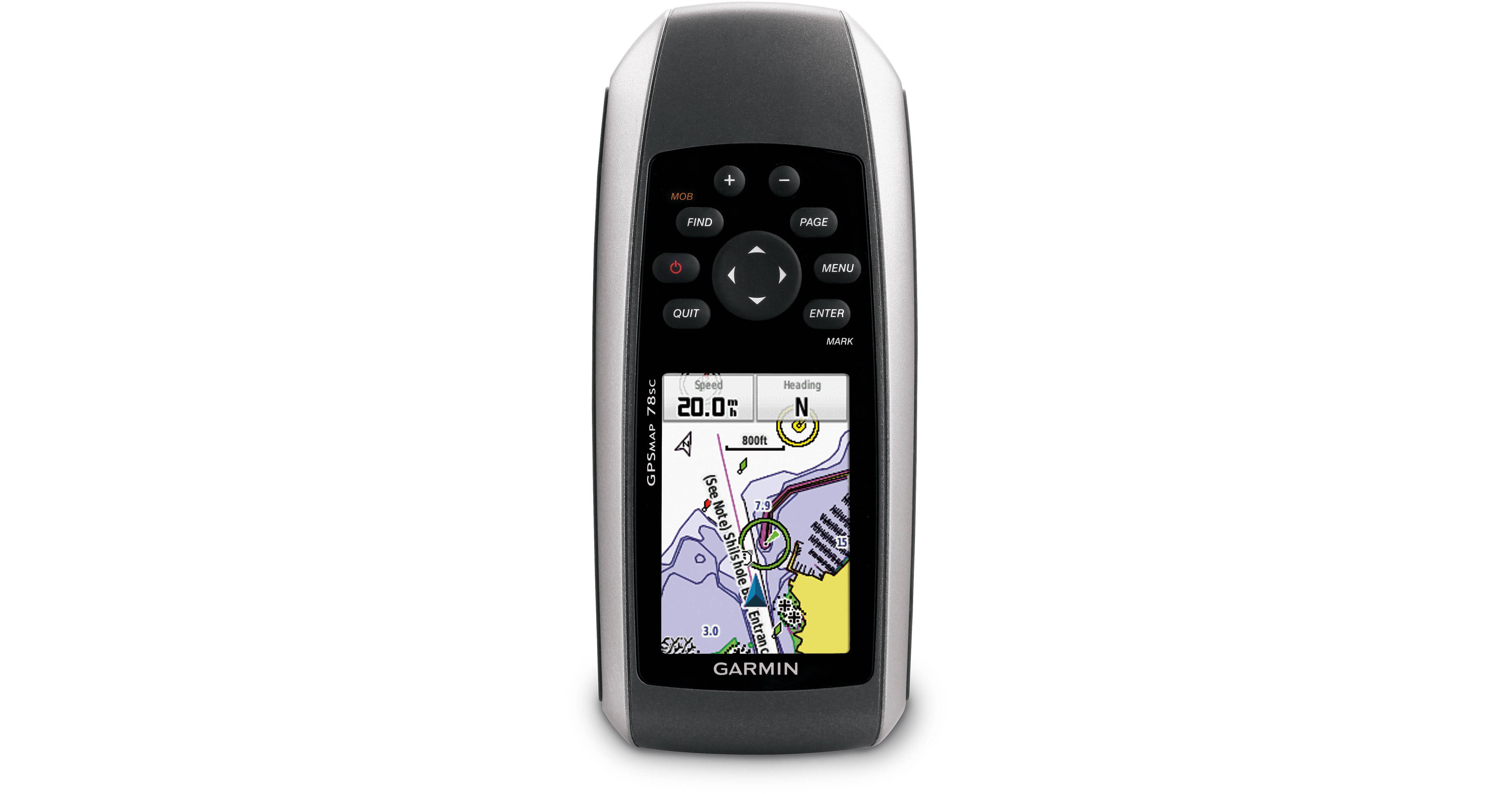
Whether you are in a kayak or motor yacht you will always know where you are with the Garmin GPSMAP 78sc. This handheld navigation device comes preloaded with BlueChart g2 coastal charts, which include shorelines, depth contours, navigational aids, harbors, and marinas for the U.S. and the Bahamas. It is equipped with rubber side grips that encourage a firm hold even when wet and features an IPX7 waterproof construction that floats in water. A 3-axis compass is built-in so you will always know your heading. An altimeter lets you know how far you are above sea level, and can help predict weather trends. The unit runs off two AA batteries which are not included.
This unit utilizes both GPS and GLONASS satellites for quicker signal acquisition so you get a fix on your position approximately 20 times faster than GPS alone. A worldwide basemap is stored on the unit's internal memory so you will always have an idea of where you are. The unit's built-in 3-axis, tilt-compensated, electronic compass shows your heading even while standing still, no matter how it is positioned. It also houses a barometric altimeter which tracks changes in pressure to pinpoint your precise altitude so you will know your distance from sea level. The altimeter also lets you plot barometric pressure over time which can help you keep an eye on changing weather conditions that can affect wave activity.
The 78sc also features built-in paperless geocaching software, so you can transfer your data to your computer with the supplied USB cord or upload it onto the Web. The unit's screen displays key information, including location, terrain, cache difficulty rating, and hints and descriptions of hiding spots. All of this means no more manually entering coordinates and paper printouts for your geocaching hobby.
You can wirelessly share data with other Garmin GPS units so equipped. This unit stores up to 2,000 waypoints on the receiver's built-in memory as well as 10,000 points and 200 saved tracks. A microSD card slot lets you load TOPO 24K maps for hiking, Trailhead Series TOPO maps for famous trails, or City Navigator NT maps data for turn-by-turn routing on roads.