Ask Our Experts800-606-6969
Hello, Log InAccount & Orders
Key Features
- BlueChart g2 Coastal Charts
- Utilizes GPS and GLONASS Satellites
- 3-Axis Compass
- Barometric Altimeter
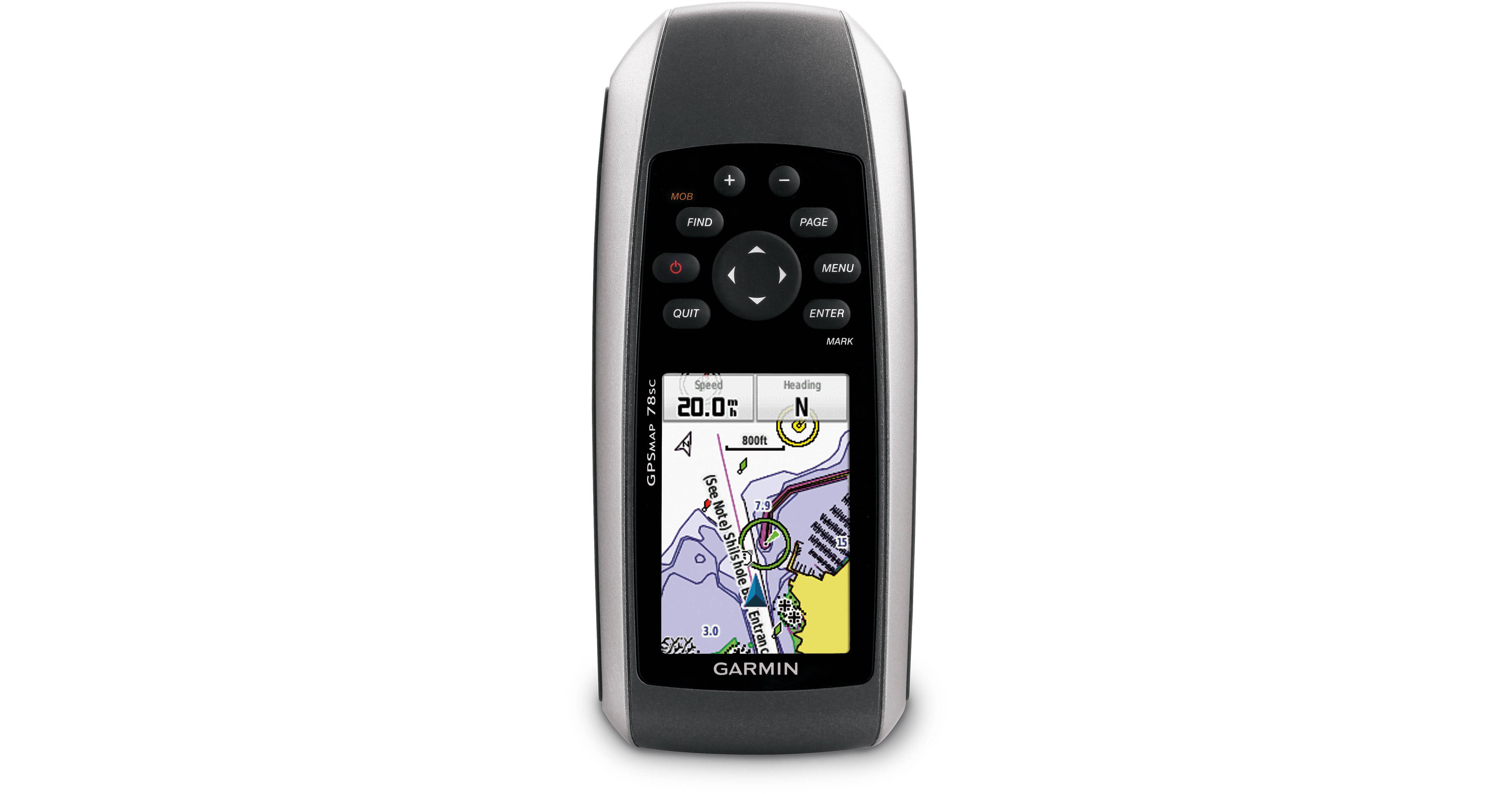
Whether you are in a kayak or motor yacht you will always know where you are with the Garmin GPSMAP 78sc. This handheld navigation device comes preloaded with BlueChart g2 coastal charts, which include shorelines, depth contours, navigational aids, harbors, and marinas for the U.S. and the Bahamas. It is equipped with rubber side grips that encourage a firm hold even when wet and features an IPX7 waterproof construction that floats in water. A 3-axis compass is built-in so you will always know your heading. An altimeter lets you know how far you are above sea level, and can help predict weather trends. The unit runs off two AA batteries which are not included.
More DetailsNo Longer Available
See any errors on this page?